
Walking a Newtown Street Directory
A useful street search moves from a known address to a set of records, not from a street name to an assumed household. Connecticut has no operating Fairfield County recorder, so the local land-record counter is the Newtown Town Clerk. MapXpress supplies the parcel and owner lead, Vision supplies the assessment card, and the other sources add title, registration, or historical context. Ownership is recorded evidence. Occupancy is a separate question.
- Enter the house number and street in MapXpress. Save the location, owner link, MBL, unique ID, account, and the date of the search.
- Open the Vision card from the assessor route. Record the tax mailing address and property fields separately from the parcel's physical location.
- Use the Connecticut voter lookup for one person at a time. Treat a result as registration and district information, not as a complete list of people at the address.
- Search the Town Clerk's land index by grantor, grantee, book and page, instrument, date, or document type. Follow the legal description when a street string changes.
- For an older household, consult C.H. Booth, the Newtown Bee, and address-ordered or criss-cross material. A printed entry is a dated publication snapshot.
Note: Keep the original street spelling, parcel identifier, and source date together so a later correction can be traced to the right custodian.
The 645 Newtown Street Options
MapXpress does not ask a searcher to invent a normalized street name. Its address page exposes a dropdown with 645 visible choices. That list includes ordinary roads, condominium and limited-tract labels, median entries, extensions, and older naming forms. Choose the portal's spelling first, then retain the deed or directory spelling in research notes.
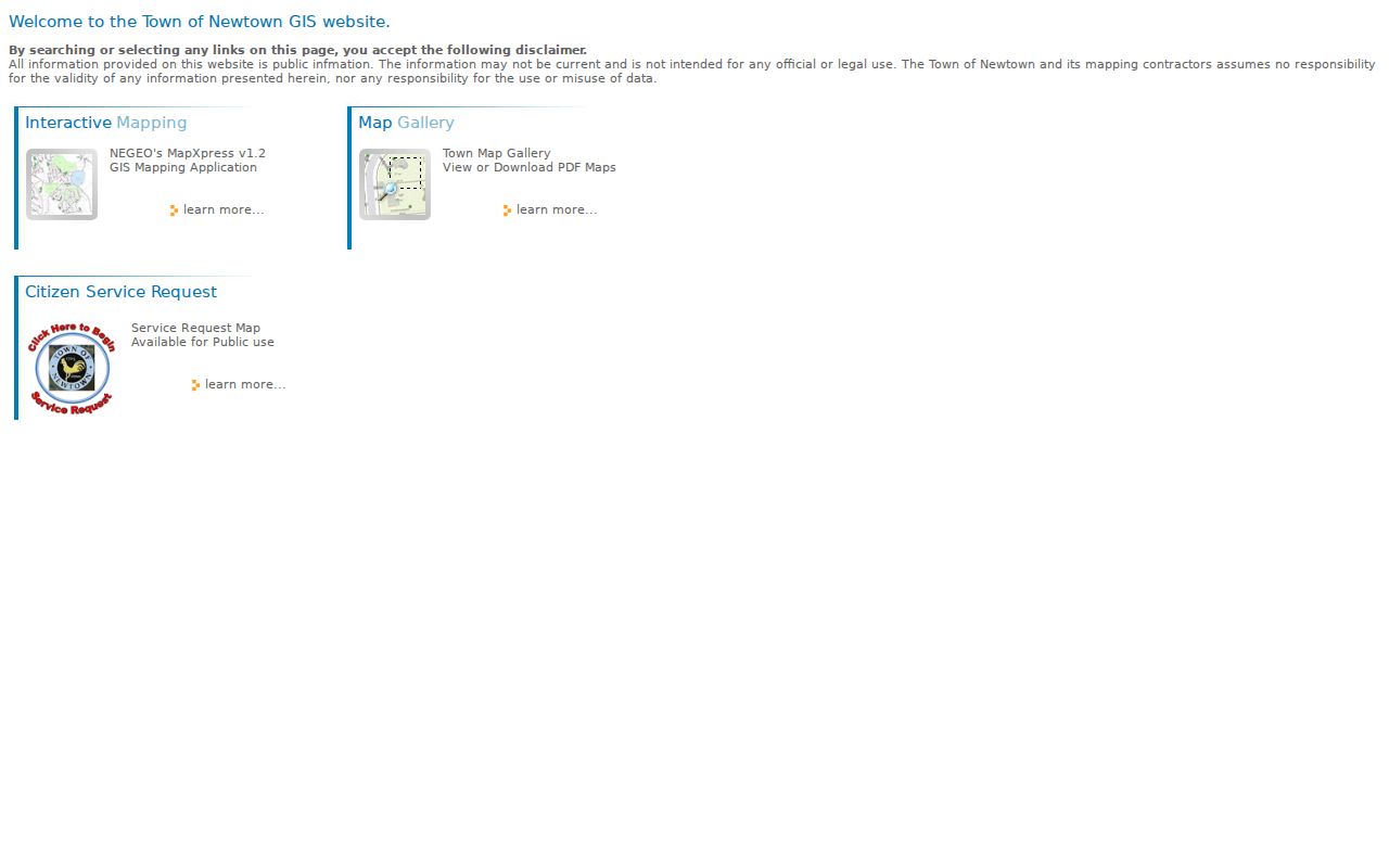
The Newtown GIS home and disclaimer provide the public context for the parcel map used in a Newtown street directory search.
The visible options include CHERRY HGTS TERRACE, MIDWAY LT, MILE HILL ROAD MEDIAN PAR, and double-spaced NEWTOWN VILLAGE LT labels. RIVERSIDE A I- and RIVERSIDE B I- preserve another database convention. The list also carries both VALLEY FIELD ROAD NORTH and VALLLEY FIELD ROAD NORTH, along with VALLEY VIEW ROAD and VALLEYVIEW ROAD. Those are search clues, not typographical details to silently fix.
Names such as WINE SAP ROAD EXT, YOGANANDA STREET EXT, CONDO MAIN, WALNUT TREE CONDOS, POOTATUCK PARK RESERVE, and BLACK BEAR VILLAGE LT show why a street-by-street pass can uncover records that a broad text search misses.
MapXpress Fields for Newtown Addresses
The static Newtown MapXpress address and owner search offers three separate ways into the parcel layer. A house number can be paired with a selected street, an owner name can be searched with the page's advice that last name works best, or an MBL can go straight to a map-block-lot record.
| House No | Optional text field, size 8; enter the street number before using the address Find control. |
|---|---|
| Street | Optional dropdown with 645 choices, including legacy spellings and limited-tract labels. |
| Name | Optional text field, size 40; the page says a last name works best. |
| MBL | Optional map-block-lot field; the inspected example format is 26-3-27. |
| Find controls | Separate address, name, and MBL actions return the matching result frame. |
Parcel results expose a street and location, owner link, MBL, account, acreage, land use, zoning, coordinates, and a unique identifier. The interactive map adds Parcel Information, Select, Print Map, View Legend, pan, measure, extent, and zoom tools. Layers include zoning, land use, FEMA, open space, trails, soils, contours, aquifer areas, police, fire, water, sewer, historic districts, and school districts. That context helps explain a block without turning a map layer into proof of residence.
Reading Newtown Parcel Layers
Clicking a parcel is the bridge from geography to a record. The visible fields include UNIQUE_ID, ACCOUNT, STREET, LOCATION, MBL2, MBL, GIS_LINK, ACCOUNT_TYPE, LAND_USE, HOUSE_NO, IMAGE_LINK, LAT, LON, COMPLEX_NAME, ACRES, OWNER_NAME, and ZONING. Quick Map, Summary Card, BirdsEye Photo, assessor-map, and property-card links can preserve the path taken.
MapXpress reports property information nightly and parcel maps updated in January 2026. Its own warning says the map is not legal or official evidence. Save the MBL and the inspection date before moving to Vision or the Town Clerk. A parcel map can show which lots line up along a road, while the recorded plat or deed supplies the legal boundary when geometry is unclear.
Note: Compare adjacent polygons visually when a road crosses the search radius; a nearby parcel is not always a touching parcel.
Vision Cards for a Newtown Street
The Newtown Vision assessor database is the tax-card companion to MapXpress. Its landing screen says the Town contracted with Vision for the 2022 revaluation and that cards use 70 percent of October 1, 2022 market value, with October 1, 2017 shown as the prior assessment date. The next revaluation was moved to October 1, 2026. These dates matter when a street directory reader compares a card with a later deed or map.
| Owner or name | Intended text search for the owner record; the live entry screen is dynamic. |
|---|---|
| Location or address | Intended situs-address route; the landing page did not expose the complete live label set. |
| Parcel, account, or map-lot | Use the MBL or account carried from MapXpress or a card. |
| Enter Online Database | Postback button that opens the assessment search and card view. |
| Advanced filters | Dynamic controls were not exposed in the unattended landing capture, so confirm them at entry. |
Vision can show owner, mailing address, assessment, building, land, and sale-reference fields. Displayed values do not reflect exemptions, and the Assessor warns against estimating a tax bill from the current mill rate. A tax card is evidence about the Town's roll. It does not prove that the owner sleeps at the situs.
Newtown Situs and Mailing Addresses
A situs or location address identifies the physical parcel. An owner mailing address tells the tax office where notices go. A voter residence address is a different record concept, and a deed's legal description is the continuity key when a road name changes. A mailing address may be in another town, another state, a post-office box, or an office. It cannot by itself establish who lives at the parcel.
The inspected MapXpress card makes the distinction concrete: a Newtown situs at 150 Boggs Hill Road was paired with a Bethel mailing address at 23 Windaway Road, plus MBL 14-8-10-1, unique ID 1, and account 00071500. The sample is a portal-record example, not a current household listing. Save both addresses, then ask which question each one can answer.
- Parcel
- A mapped unit of land identified by an account, unique ID, MBL, or legal description.
- Situs address
- The physical location used to place the parcel on the Newtown map and tax roll.
- Plat
- A recorded survey or map showing lots, lines, roads, and subdivision relationships.
- Criss-cross directory
- An address-ordered directory section that works backward from a street location to a printed occupant entry.
Newtown Voter Status by Street
The Newtown registrars maintain the local registry, district street index, voting-district map, canvass, and election materials. The official Connecticut voter lookup is a one-person confirmation route. Its intended fields are Town, Last Name, First Name or first initial, and Date of Birth. A result can help confirm registration, residence or polling information, party or status fields, and participation information, but it is not a street roster.
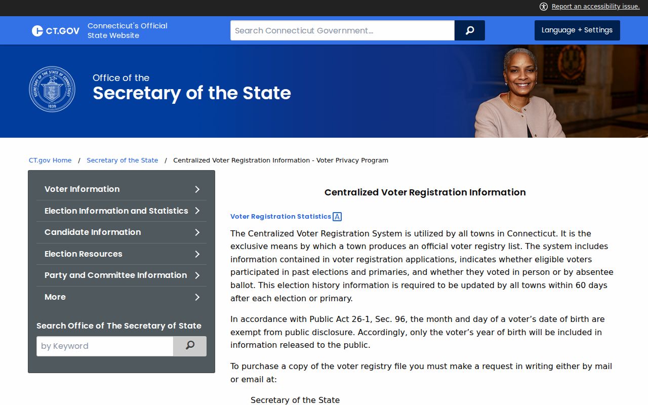
The Connecticut voter-privacy rules keep month and day of birth out of public release, and protected voters can have a street or house address suppressed. A full voter file is a separate CSV request costing $300, with an attestation limiting use to election-related, scholarly, journalistic, political, or governmental purposes. The district street index helps translate a road into a polling district; it does not reveal every registered voter along that road.
The Connecticut voter privacy and file-access page shows the public-versus-protected boundary that matters when a street directory search reaches the voter layer.
Use the voter result as one dated clue. It should be checked against the parcel, deed, or another independent record, and it should never be expanded into a household list.
Newtown Deeds Along a Street
The Town Clerk's SearchIQS route turns a parcel into a title trail. The Newtown SearchIQS land-record portal supports Party 1 and Party 2 names, an optional name-time setting, date From and Thru, Document Group, Document Description, Town, Book, Page, Instrument Number, and Case Number. A grantor is the person transferring an interest; a grantee receives it. Record both roles rather than treating an index name as an owner by itself.
- Begin with the current owner, MBL, book/page reference, or instrument number from the parcel and assessment card.
- Open the index row and note the recording date, document group and description, town, book, page, instrument, case number, and image indicator.
- When an image is available, compare the legal description, prior deed reference, easements, releases, and stated consideration with the index.
- Search the seller as an earlier grantee for the same legal description, allowing for initials, married names, entities, trusts, subdivision lots, and old road labels.
- When the online image range ends, ask the Town Clerk for the deed book, grantor/grantee index, map, or plat at the counter or through a focused request.
SearchIQS help describes land index-only material beginning in 1900, mixed index and image coverage from 1911, and index plus images from 1916 forward. It also identifies grantor/grantee index books from 1700-1948 and map indexes from 1904, while the Town's own page describes land images from July 1966-current. The Clerk should resolve a specific early-book or image question.
Newtown Street Records and Access
No single address source is a household census. The following chain keeps each record's purpose clear and identifies the fallback when the portal is incomplete.
| Address-keyed set | Keeper | Street clue | Access and limit |
|---|---|---|---|
| MapXpress parcel | Newtown GIS | Situs, owner link, MBL, geometry, acreage, zoning | Public map; not legal evidence |
| Vision card | Newtown Assessor | Owner, mailing address, assessment, building and sale fields | Public dynamic portal; not proof of occupancy |
| Land index and image | Town Clerk / SearchIQS | Grantor, grantee, instrument, map and legal chain | Guest index; subscriber images and counter fallback |
| Maps and plats | Town Clerk and GIS | Lot lines, map number, subdivision and nearby parcels | SearchIQS map route or recorded book |
| Voter lookup | Registrars and Secretary of the State | One person's registration and district fields | Privacy rules; not a street export |
| Building and land-use file | Town departments | Permit, applicant, parcel, address and inspection clues | Counter or FOI; no complete public case index located |
| Directory or newspaper | Booth, BPL, LOC and Newtown Bee | Historical occupant or phone snapshot | Library/archive access; not current title |
The parcel or MBL is the bridge among the GIS, Vision, deed, permit, and map layers. The street string is useful for discovery, but it can be less stable than a legal description. A street directory is strongest when it states which custodian supplied each fact.
Newtown Permits and FOI Requests
Newtown's Building Department lists addition, commercial, deck, demolition, driveway, electrical, finished-basement, fire-protection, HVAC, fireplace, hot-tub, and related application categories. Land Use handles zoning, wetlands, subdivisions, open space, aquifer protection, certificates of occupancy, and related files. The inspected sources did not expose a public address-keyed permit or code-case database. Do not treat the absence of a web search as evidence that a file is absent.
Use a parcel number or complete address, a date range, and a precise record type in a counter request or a Connecticut Freedom of Information request. Ask for a permit application, inspection record, zoning decision, certificate, or identifiable map instead of “everything about this house.” The Town Clerk's counter at 3 Primrose Street is also the practical fallback for land books, maps, trade names, vital records, and election material. Phone or mail instructions can be confirmed with the custodian when a form or portal stops short.
A March 2025 local report described a Town Clerk tab for searching the broader Land Use database, but the live scope should be checked through the official Town route before relying on it. The safest record request names the parcel and the office that likely holds the record.
Historical Occupants on Newtown Streets
Printed directories add a household layer that modern parcel systems do not. C.H. Booth Library's Genealogy Room has the Julia Brush collection, more than 900 local and family-history volumes, local binders, church material, cemetery files, and reference help. Bridgeport Public Library lists Newtown telephone-directory holdings for 1963, 1965, 1967, 1969, 1971-72, 1974, 1976, 1978, and 1981. The BPL directory holdings page is a shelf lead, not a claim that every year is digitized.
The C.H. Booth genealogy page points to Newtown Bee binders, a Newtown births/marriages/deaths binder for 1711-1852, Newtown Bee vital records for 1889-1953, church records for 1715-1946, and an obituary index. A criss-cross section reverses the usual name-first route by arranging entries around an address. For collection years, sample formats, and the historical shelf, the Newtown Directory Book page keeps the focus on those volumes rather than the current street chain.
A directory entry can show that a name appeared at an address on a publication date. It cannot prove current residence, title, or every person in the household. Pair it with a deed, newspaper notice, obituary, or local 1890 substitute record when reconstructing a family or house history.
Old Newtown Roads and Spelling
Newtown's earliest address history is map-based. The Historical Society settlement history describes a 1708 petition, a 1709 town plat, 48 proprietors by 1710, four-acre home lots, and roads that correspond to modern Main, West or Church Hill, and Route 302. The Town Clerk holds land records from 1711 forward, while the older grantor/grantee index books reach back to 1700-1948. A current street number is not always the best bridge to an early deed.
No official townwide street-renumbering or street-renaming project year was located in the reviewed sources. Preserve a neighborhood name such as Sandy Hook, Botsford, Hawleyville, Dodgingtown, or Hattertown alongside the road name, and keep the original road suffix. Use the MBL, map number, lot, book, and page to connect an older description to a current parcel. That practice turns a spelling quirk into useful local evidence.
Limits of a Newtown Street Directory
A Newtown street directory can connect a parcel to a recorded owner, a mailing address, a legal instrument, a voter status, a permit file, or a dated printed entry. It cannot expose every resident. Household members, utility customers, delivery records, and DMV address data are not public shortcuts. Connecticut's Address Confidentiality Program and voter privacy program can suppress a protected person's street or house address, while sealed court, adoption, juvenile, victim, and confidential vital material remains restricted.
Lawful use. Use address records for personal research, family history, property understanding, civic records work, or personal safety awareness. Do not use a Newtown street search to stalk, harass, intimidate, or publish protected information about another person.
When a result looks wrong, return to the source office with the parcel, book/page, instrument, registration, or publication date. Public information can be stale or belong to a namesake. Verification with the originating custodian is more reliable than repeating a copied profile.